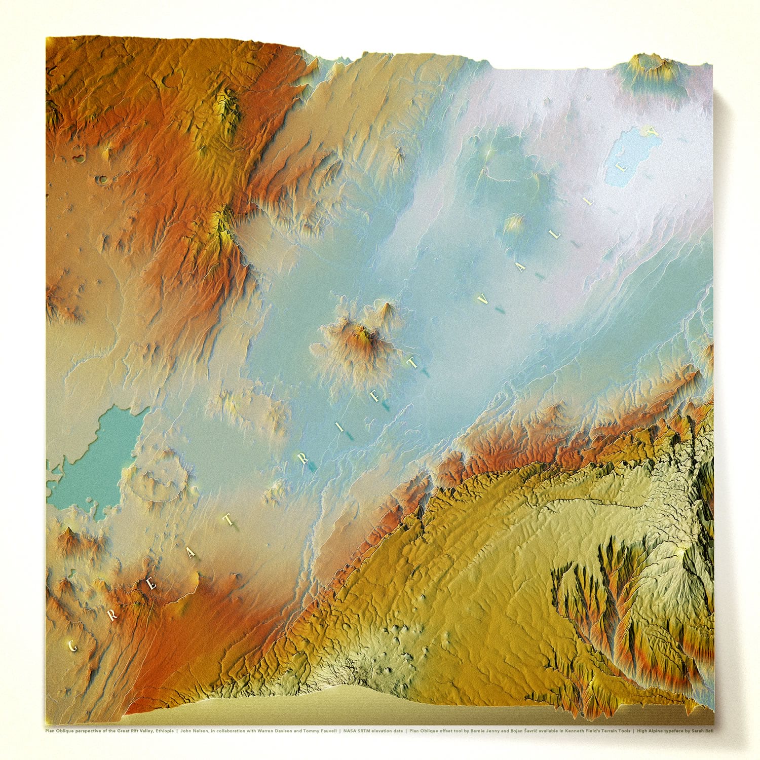
Here is a map of the Great Rift Valley, in Ethiopia.
It is very much a 2D map. Sort of. Absolutely. In a sense. It uses the Plan Oblique tool, available in the glorious set of Terrain Tools for ArcGIS Pro, released by Ken Field some time back. Developed by Bernie Jenny and Bojan Šavrič, based on some beautiful hand-wrought oblique examples from mapping’s rich history, it is a wonderfully sneaky way of vertically warping elevation data so that pixels are pushed “up” commensurate with their elevation. The result is a modified elevation model (a NASA SRTM digital elevation model image, given a UTM projection) that gives the impression of looking slightly sideways at terrain. But it’s not 3D, you hear me!