John Nelson
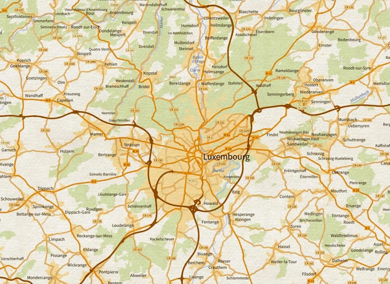
This blog post is about styling and labelling data from the OpenStreetMap database in ArcGIS Pro, to produce impressive maps. The key is to understand the structure of OpenStreetMap data, the different data types and their correspondent attribute schemes. For the purpose of this blog, I selected the country of Luxembourg in Europe, because it is a small country and I believe it is a good example. Of course, this process can be applied to any other place in the World, provided that OpenStreetMap data is available for that place. All OpenStreetMap data have been downloaded from the Overpass Turbo with appropriate queries in GeoJSON format and further converted to feature classes with the JSON To Features Geoprocessing Tool. In the following paragraphs I attempt to style and label all data with Arcade, whenever possible. I believe Arcade can really help ArcGIS users to save time and make better and more efficient workflows.
Styling OpenStreetMap data with Arcade in ArcGIS Pro (esri.com)


